
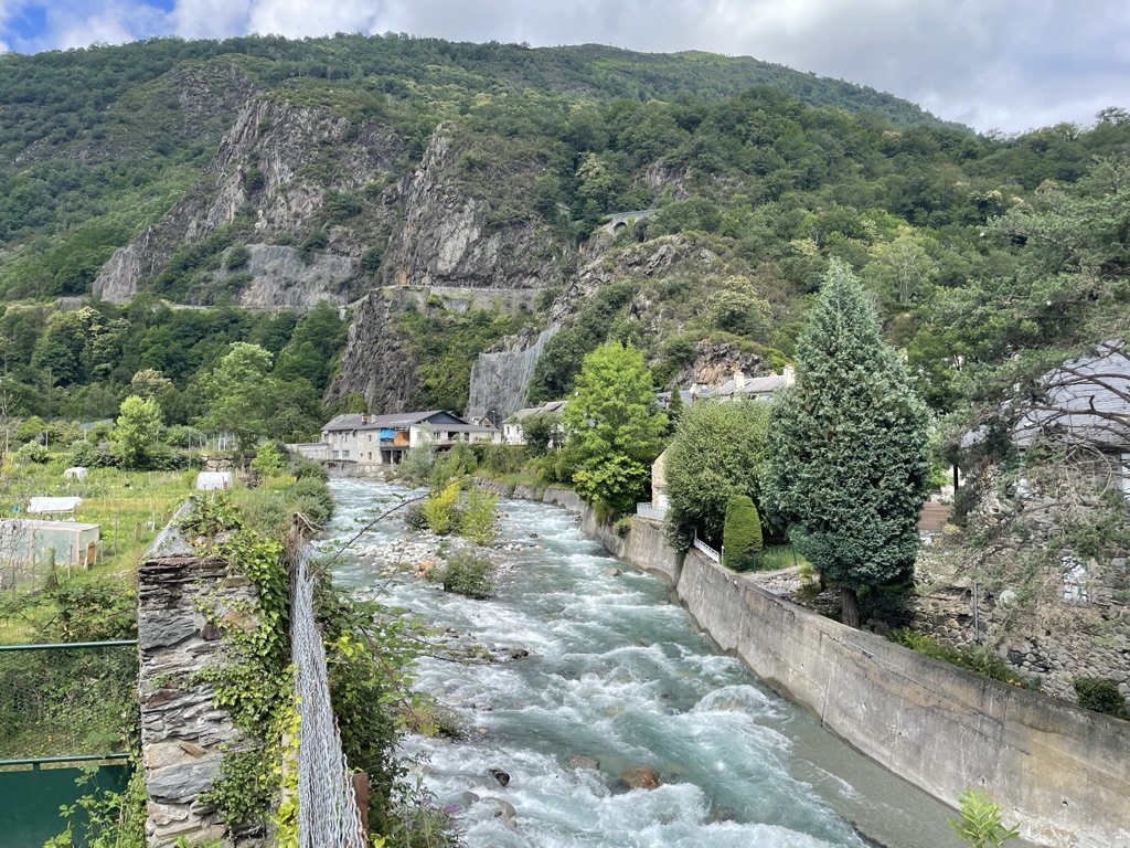
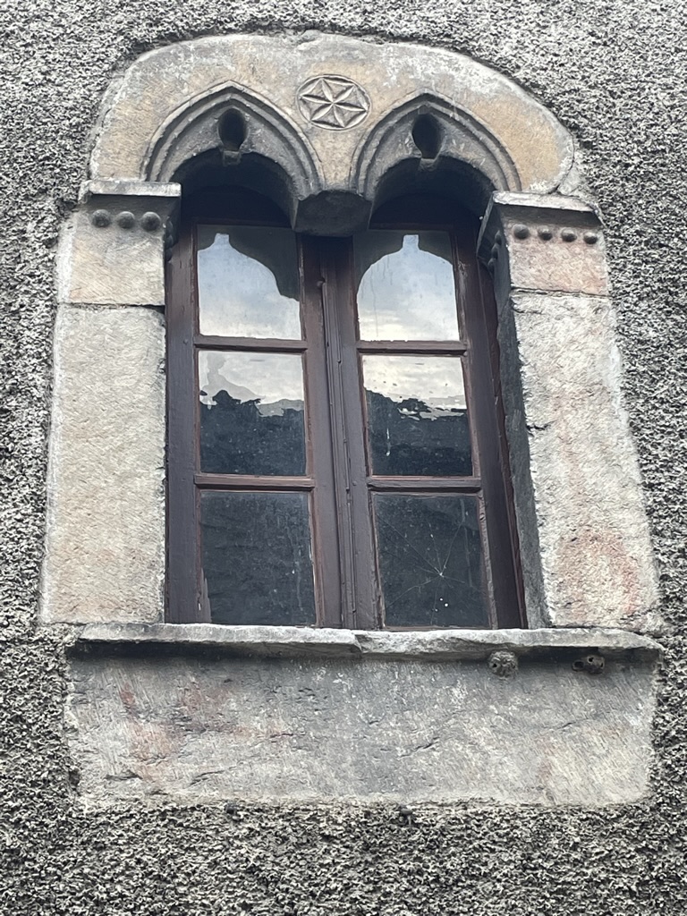
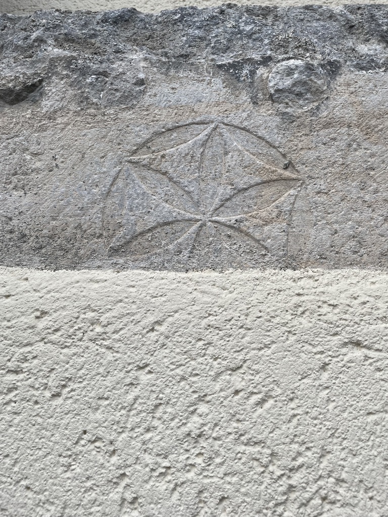
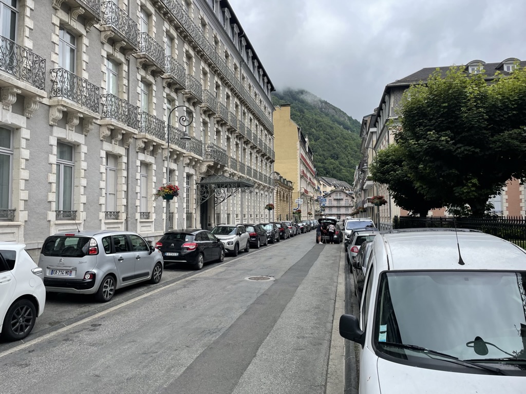
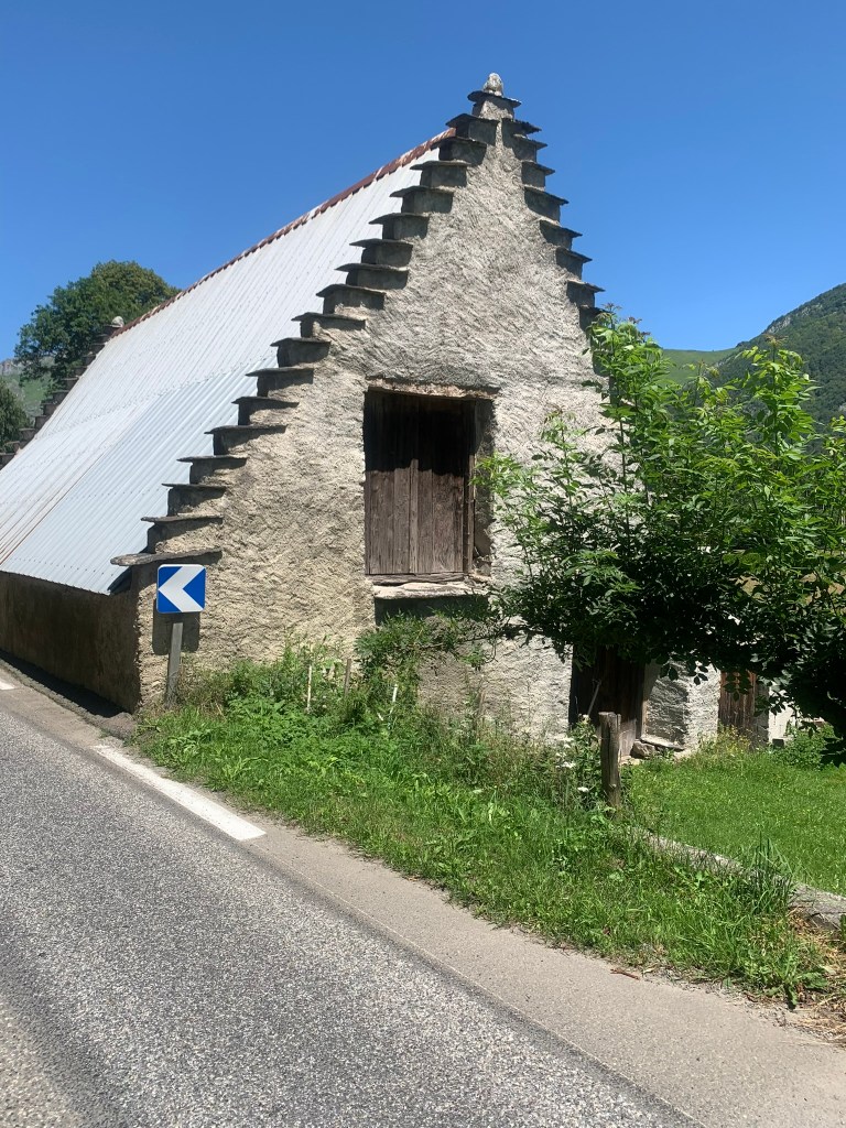
Have we told you how pretty our little town Pierrefitte-Nestalas, France is? Granted, it’s not as jaw-droppingly cute as some of the absolutely huggable French villages we’ve driven or hiked through but it has plenty of charm and class: I like how the townspeople, young and old, take the time to greet us with a polite “bon jour, madame et monsieur.” It’s kind of formal and old-fashioned and maybe not something you hear as much in Paris . The village — technically two villages that joined forces, maybe to save on administration costs — goes back to the 11th century and the old part of town has buildings with the cross of the Knights Templar carved into the window arches. The reason it’s not as cute as others probably has to do with the mining and mill history of the area, which all but closed down in the 1980s. The upside of that economic downturn was the creation of a couple of rails-to-trails pathways, including a paved and mostly level 20 km path to Lourdes along with a more rugged route up to Cauterets (which we will discuss later in the post). We love walking around here and exploring the trails and all the streams but, like the other places we’ve visited, it’s mostly a great jumping-off point to surrounding towns. Here are a few of those adventures.


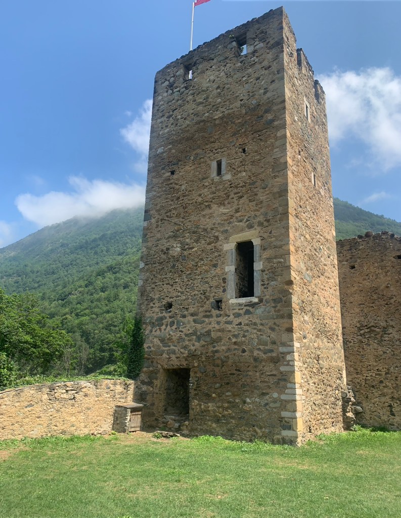
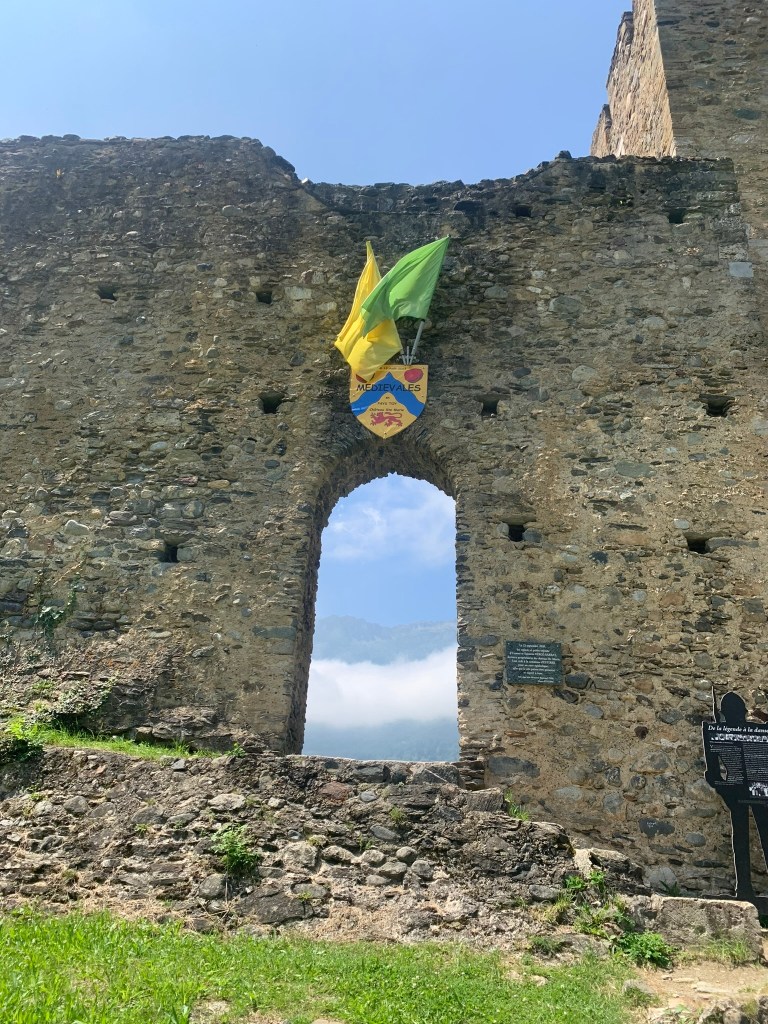
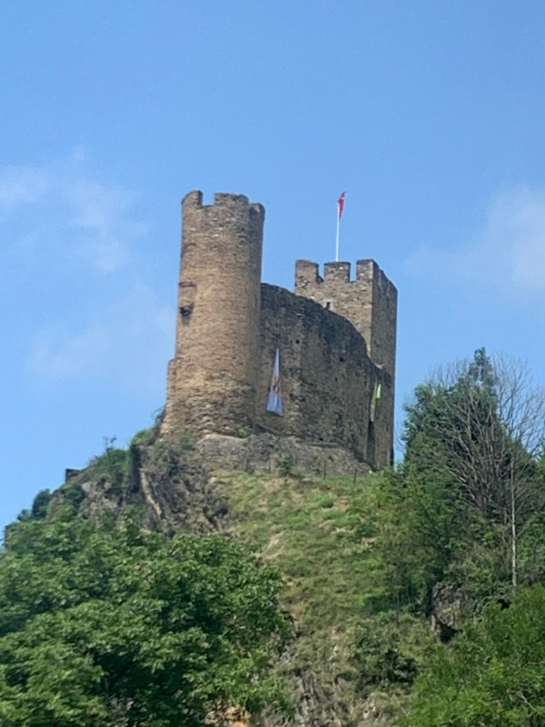
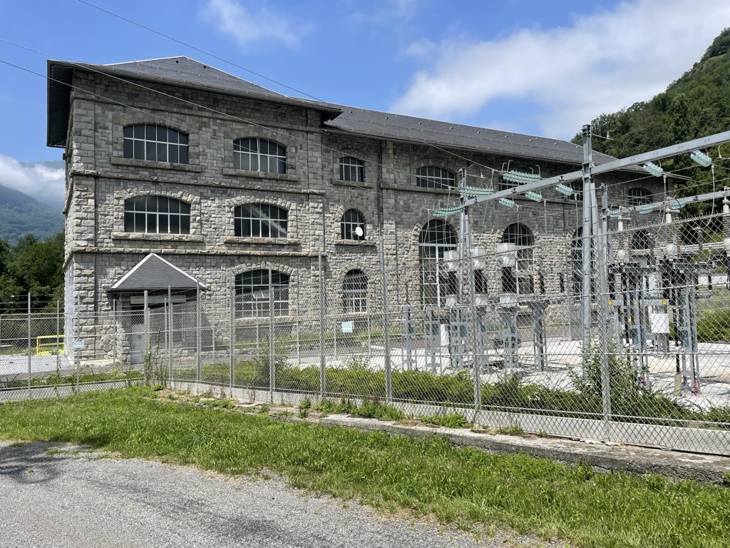
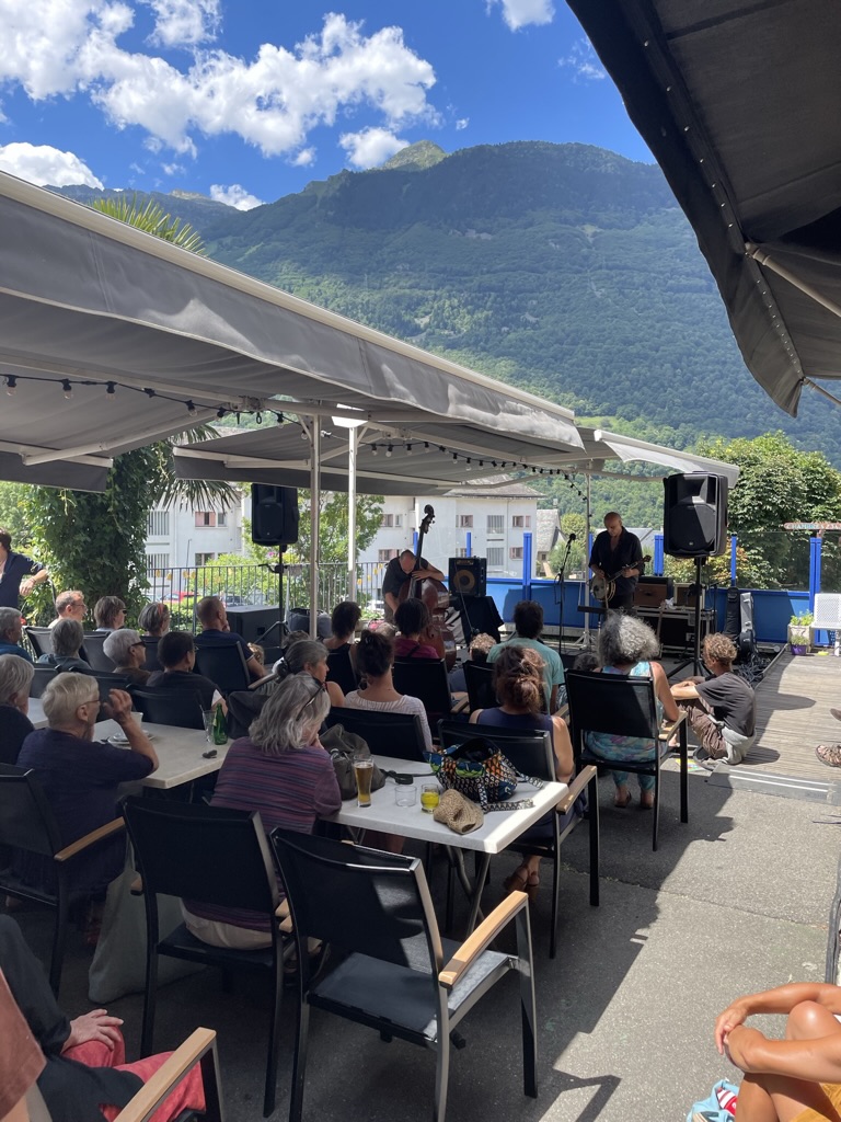
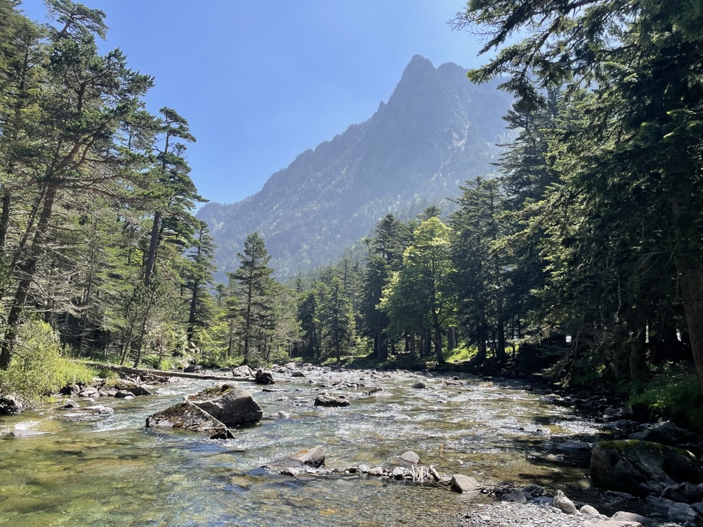
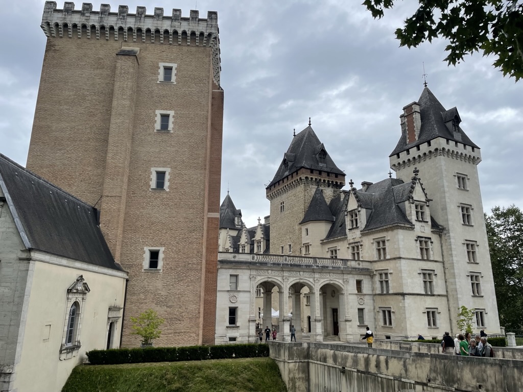
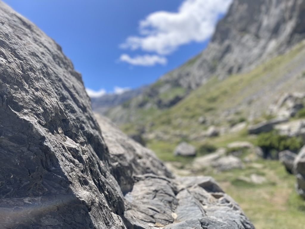
Denise discovered an intriguing hike in the nearby town of Luz-Saint Sauveur (another town that discovered the power of the hyphen) and the drive over there — following the gorge containing the Gave de Gavarnie ou de Pau — turned out to be, well, gorgeous. On one side of the road is the slate mountainside and on the other is the deep gorge containing the river. Luz is one of those towns at the crossroads of outdoor activities: the river attracts kayakers, while the mountains around town are busy year-round with skiers, hikers on the GR10, and bikers. Our hike took us up to a tenth-century English castle that sits high above the town and then along a trail that crosses the path of an impressive stone hydroelectric plant, one of the first in France. Luz is also the site of an edgy, eclectic jazz festival held every year since 1990, and we took in a couple of shows (on a different day from this hike): a badass bassist from Brazil named Farida Amadou who, despite her jazz background, took us on a thrilling trip through noise rock that was more Sonic Youth than Jaco Pastorius. We also caught a set by a French duo called Boucan, consisting only of a double bassist and a banjo player. The crowd was amused by their lyrics but we had to make do with their stellar musicianship.


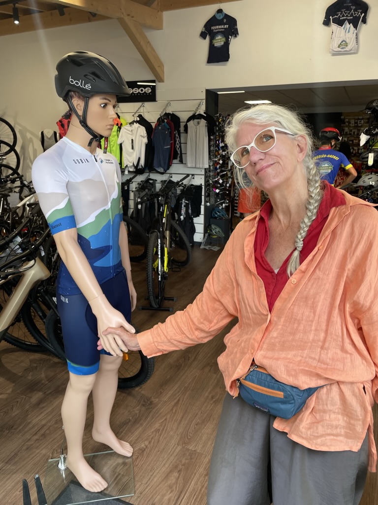
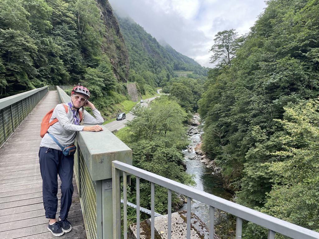
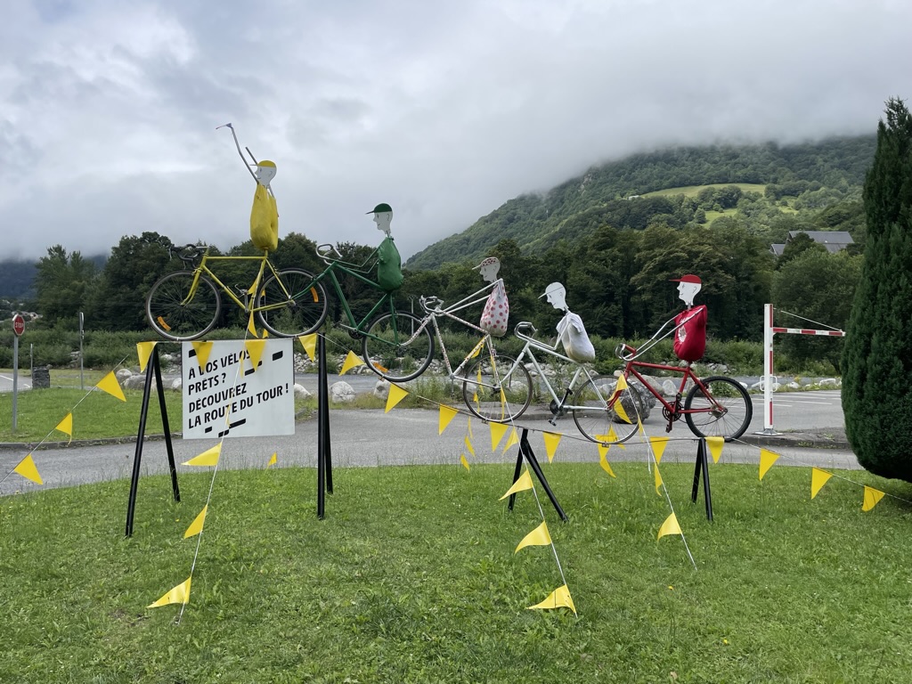
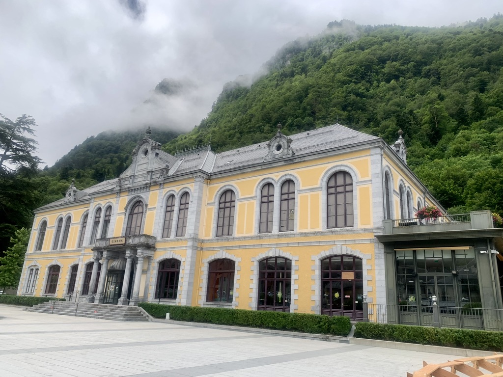
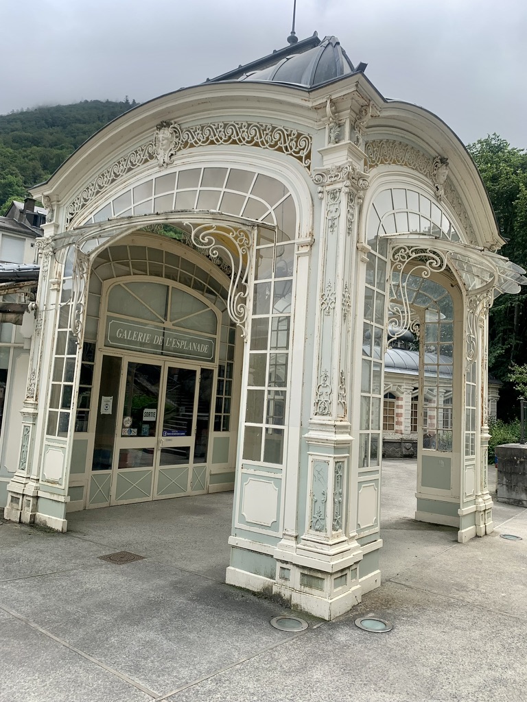
One sunny Thursday, we found a bike shop in nearby Argelés-Gazost and rented two electric bikes for the day. I know, I know… e-bikes are for old people! They’re like the pickleball of bikes but, with my two recent surgeries and Denise’s ongoing leg pain, it was the best we were going to do. We told the owner that we wanted to climb from Pierrefitte to Cauterets on the old miner’s trail and he recommended a mountain bike. We were under the impression, having walked a small part of the trail, that it was paved all the way but this was our first hint that it was going to be more than we bargained for. We rode back to town along the flat rails-to-trails path and then started up on the trail to Cauterets. This challenging path is parallel to the road that the Tour de France riders took up to the finish of Stage Six and we gained even more respect for them — assuming that they weren’t using electric bikes. It started out fairly easy but got harder as it went along. At one point, it turned into a muddy single-track and we had to trust in the wide tires to get us through. Every few hundred yards, the surface would change — from paved to loose gravel to mud to grass to dirt and back again — and the grade went from 5 to 10 percent, uphill and even downhill at times, making it a struggle, even with the motorized help. In our defense, these were just pedal-assist bikes, not the motorbike-type where you just hit the throttle and go: you still had to do a lot of work to get the bike up the hill. In addition, the bike weighs over 50 pounds (23 Kg) and that’s a lot to haul up a hill. Once we reached our destination, we felt like we’d really climbed a mountain. Cauterets is a very cool town and another popular destination for the outdoorsy types. It used to be a high-class spa destination and that shows in the beautiful architecture, which reminded us of Paris. Unlike the poor miners down the hill in Pierrefitte, there was money and sophistication here. We ended up putting about 25 miles on the bikes and we felt every mile on our sore butts the next day.

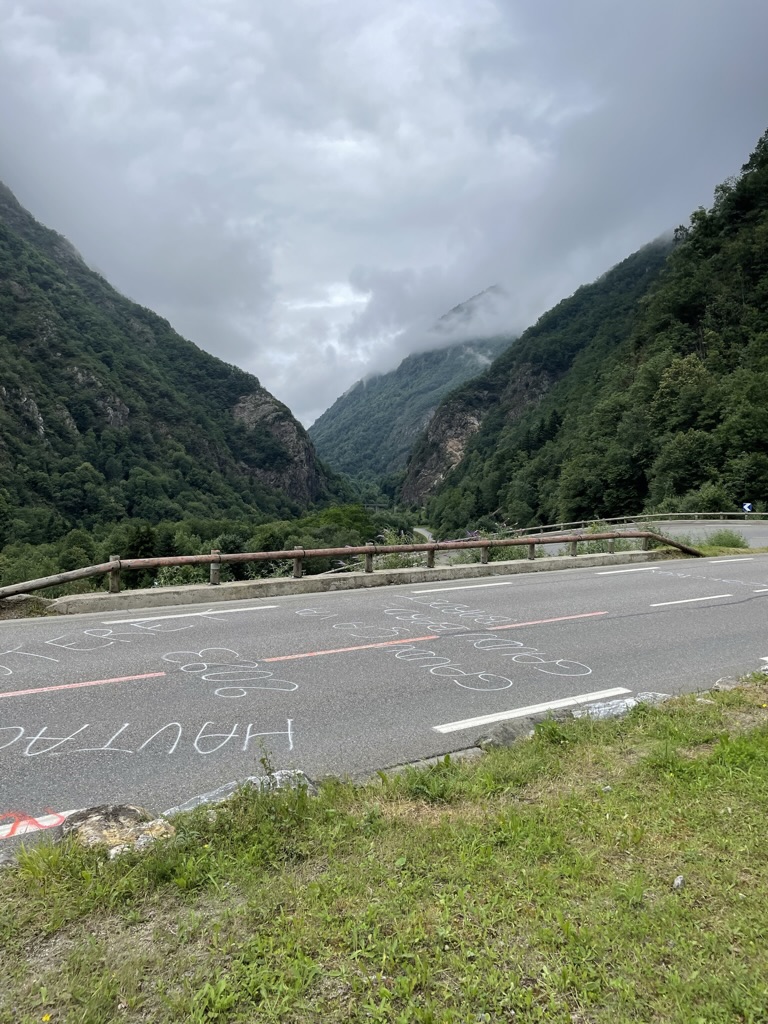

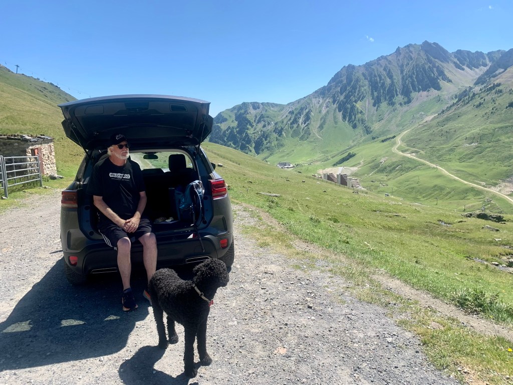
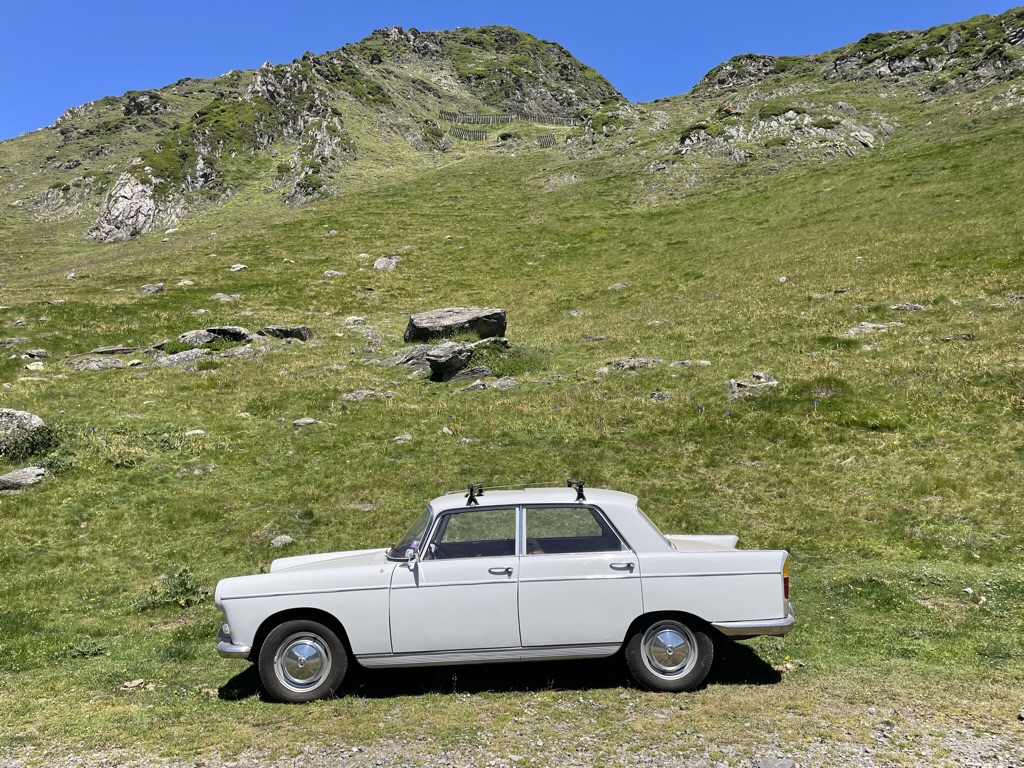
The next day was Bastille Day here in France and we figured it was a good day to get in the car and explore the Col du Tourmalet. We started our ascent from the town of Luz and ran into many bicyclists on the route, all trying to replicate — in reverse — the route the Tour riders had taken just days before. When we arrived at the pass, it was so crowded that we couldn’t find any parking. Since it was beautiful weather and a national holiday, every tourist in the Occitane had decided to visit. We went over the top and found a dirt road turnoff not far from the summit and had a nice picnic while watching the amateur cyclists struggle up the last kilometer of the climb. We took a little hike and saw sheep and llamas grazing, as well as a stray Peugeot that someone had inexplicably parked there. As we walked, the llama herd started drifting towards us and I did a quick Google search to see what was the worst they would do. Thankfully, it came back that spitting was about as ferocious as they got so on we hiked.
Later, we followed the road down the other side of the mountain through ridiculously cute French villages, stopping in one of them to check out a flea market and a cafe, the only two things open on the holiday. Speaking of which, we were a bit surprised that Bastille Day was not a bigger celebration day in this part of France. We were led to believe that it was akin to our Fourth of July but, except for everything closing down, it was pretty low-key, or, as Denise is fond of saying, “a nothingburger.” Again, maybe it’s different in Paris.


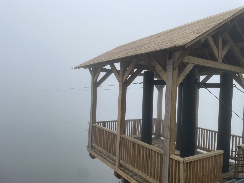
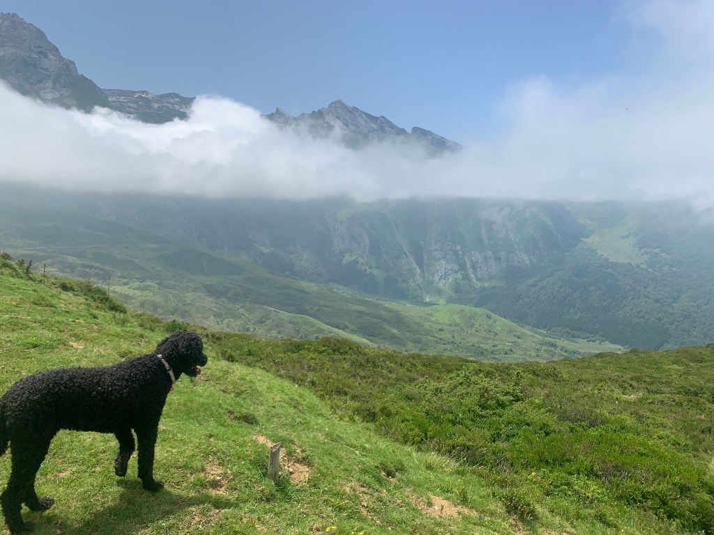
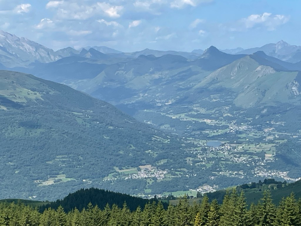
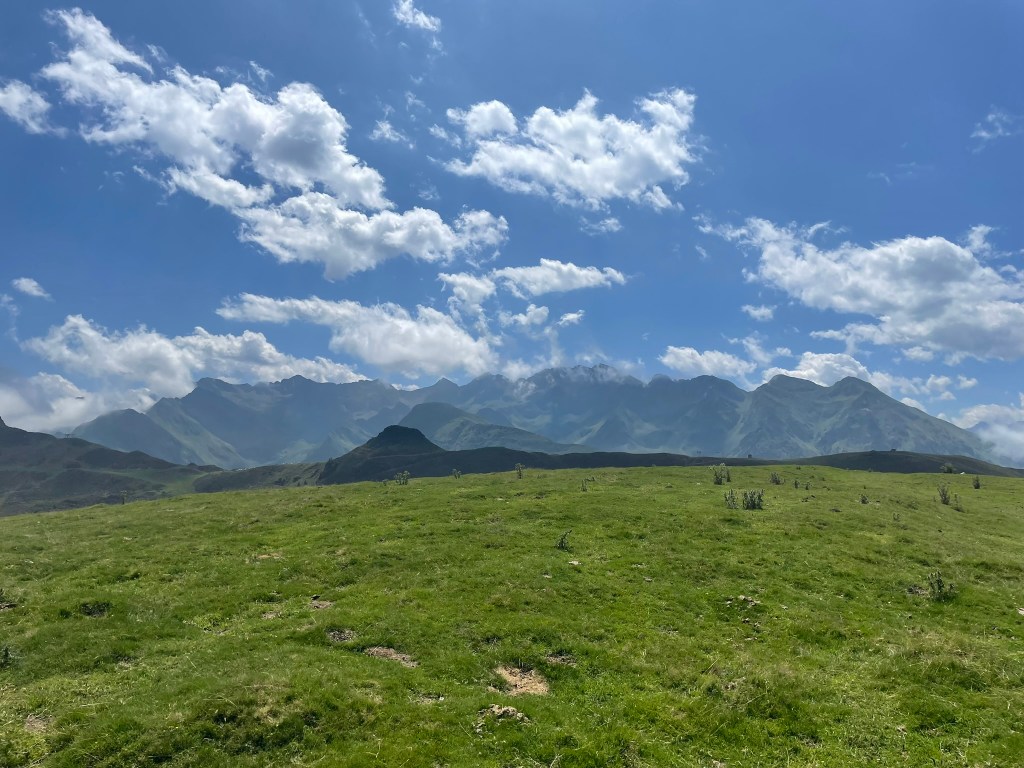
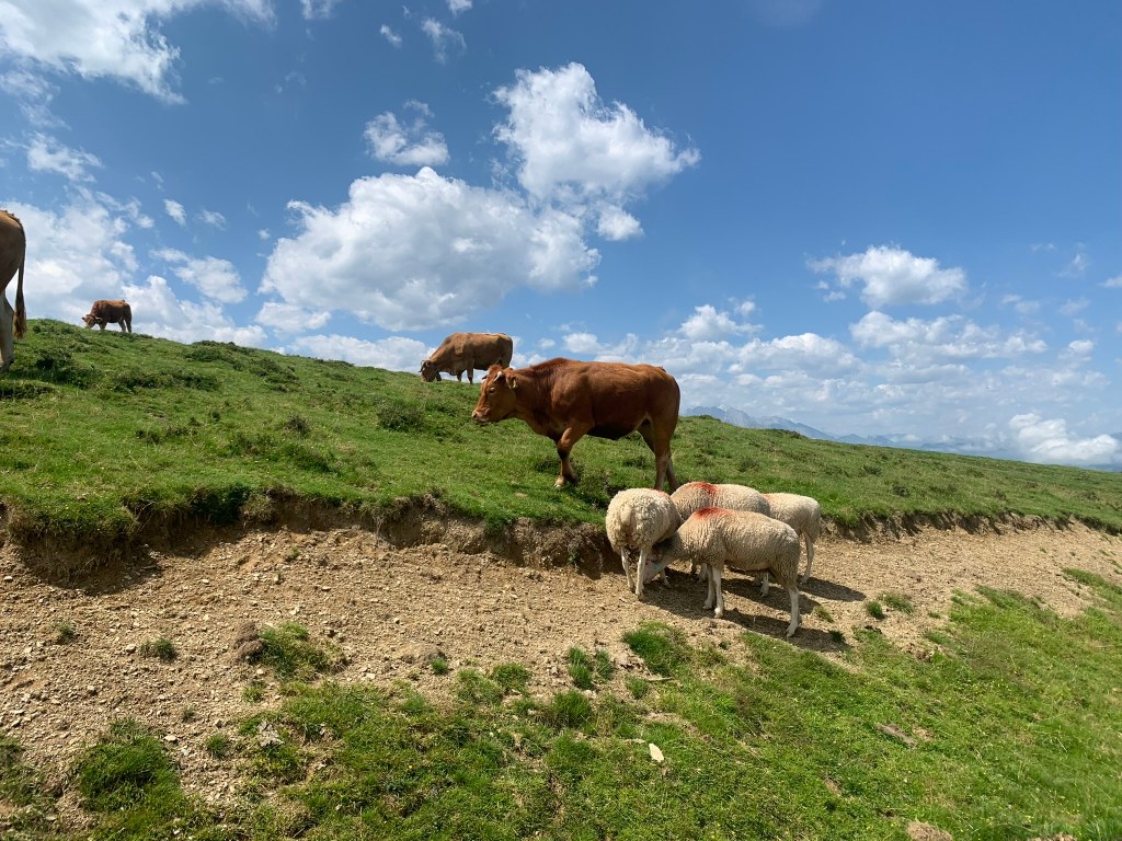
Not every expedition we undertake is successful. Our trip to the top of Hautacam, a nearby ski resort (and, as you all well know, site of the finish of Stage 18 in the 2022 Tour de France) was so shrouded in fog that the guides recommended we not hike as we were likely to get lost and devoured by the grazing cows or sheep. We had a somewhat similar situation the next day on our hike around the Col du Soulor, with the clouds moving in and out all day, but we were able to finish our 10 km jaunt around the summit without incident. The hike was in a pastoral zone and we had close encounters with four different kinds of grazing animals: cows, sheep, donkeys, and, most surprisingly, a small band of horses. I didn’t need Google to tell me that one of the horses was not happy with having us around and we gave a wide berth to that bucking mare, who was probably just protecting her young. They had bells on so we knew they weren’t wild — and they weren’t the only group of equines on the mountain either. As usual, Denise undersells these hikes to me as “easy” and “short,” but this one was almost seven miles with a fair amount of elevation gain and drop, all at about 5000 feet of elevation. Her app calls it “facile” but I would call it “modéré” and , I dunno, maybe mention that you’ll be dodging giant piles of manure with practically every step.

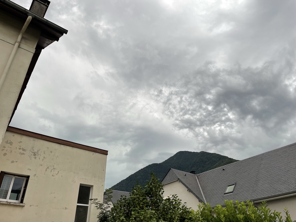
My diary for the next day just says “too hot!” so I figure we just did our twice-daily dog walks and laid low inside. The temperatures here in the Pyrenees have mostly cooperated with my plan to escape the worst of the European summer heat but this was an aberrant 90 degree day. Even with a sweltering day like that, by sundown it’s generally down into the 60s, making for a pleasant sleeping situation.
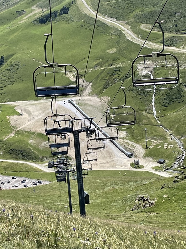
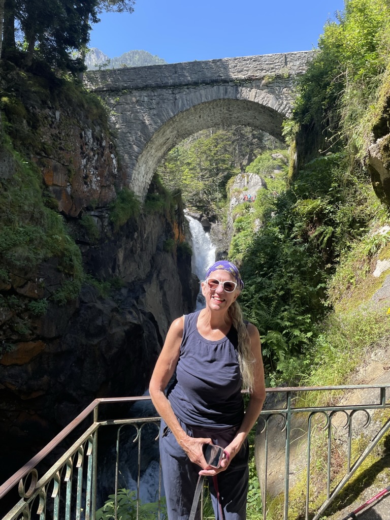
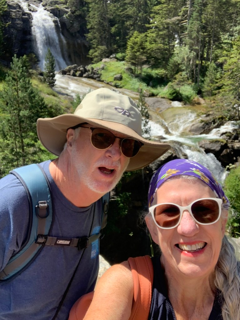
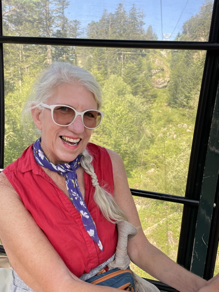
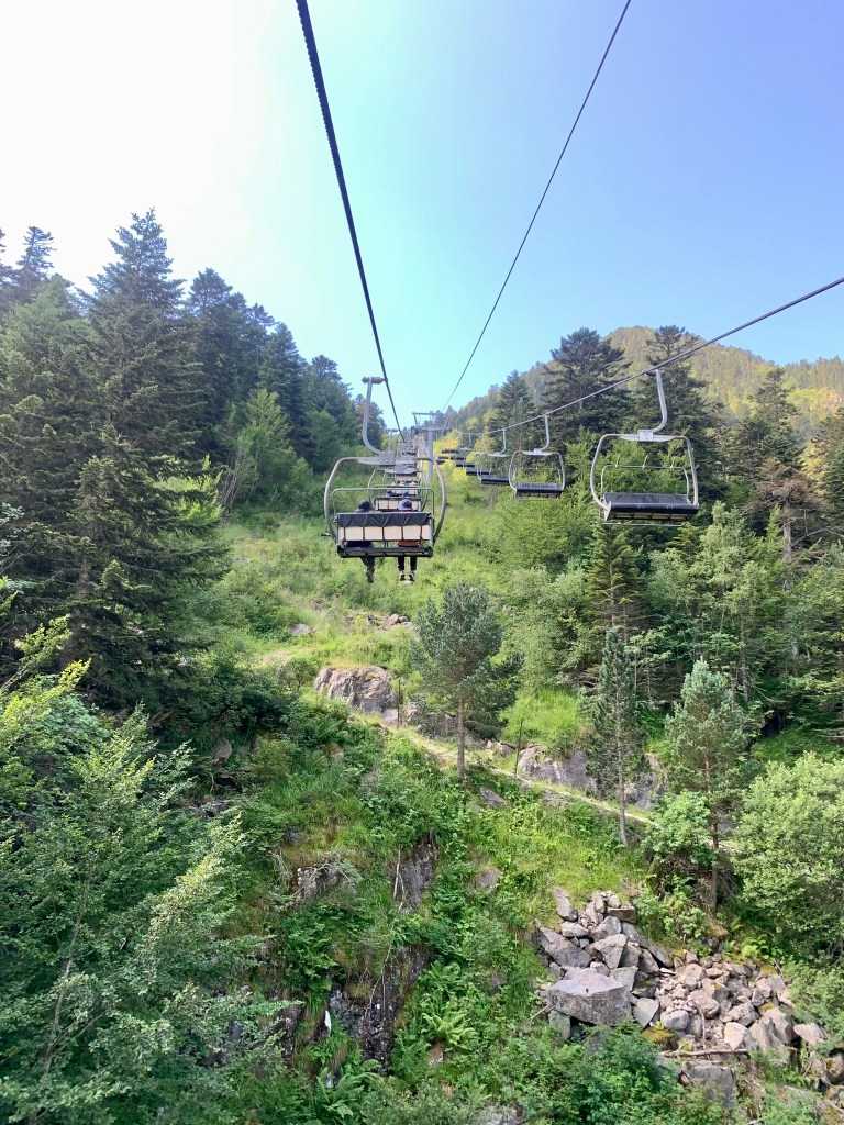
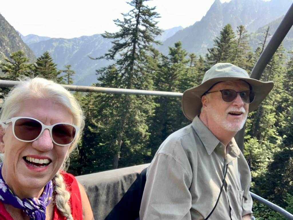
One of the more popular spots in the area is the Pont d’Espagne, a designated World Heritage Site, just up the road from Cauterets. It’s a beautiful area, with a century-old bridge built to accommodate trade with the Spanish, and a gorgeous river, perfect for fly fishing, that flows through the area. Denise tried to talk me into taking Coco up to Lac Glaube on the ski lift but I really didn’t want to be wrestling with a freaked-out poodle on a skinny chair 100 feet above the rocky terrain. Hell, I didn’t want to be on a chair lift at all: I hate the things. Instead, we cut the day short and made a plan to come back sans poodle a couple of days later and take the lifts up to a hiking trail to Lac Glaube. This turned out to be one of the most beautiful hikes of our stay here, with the impressive Grand Vignemale looming over the glacial lake.


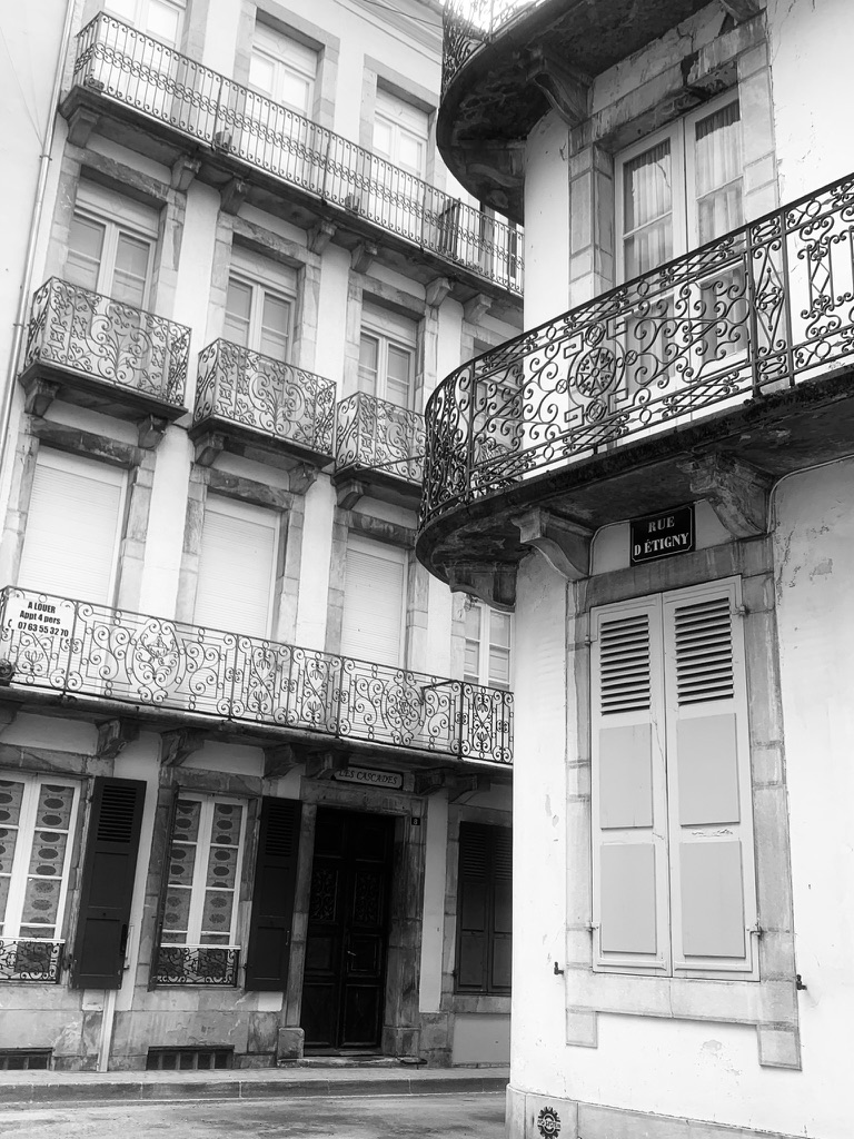
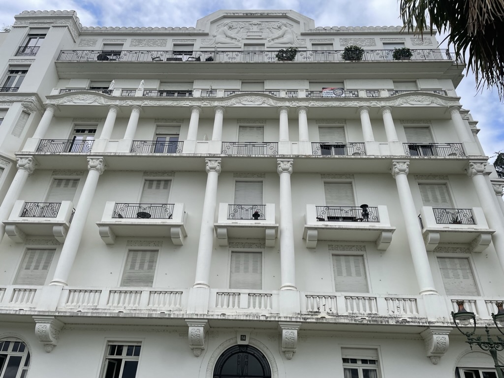
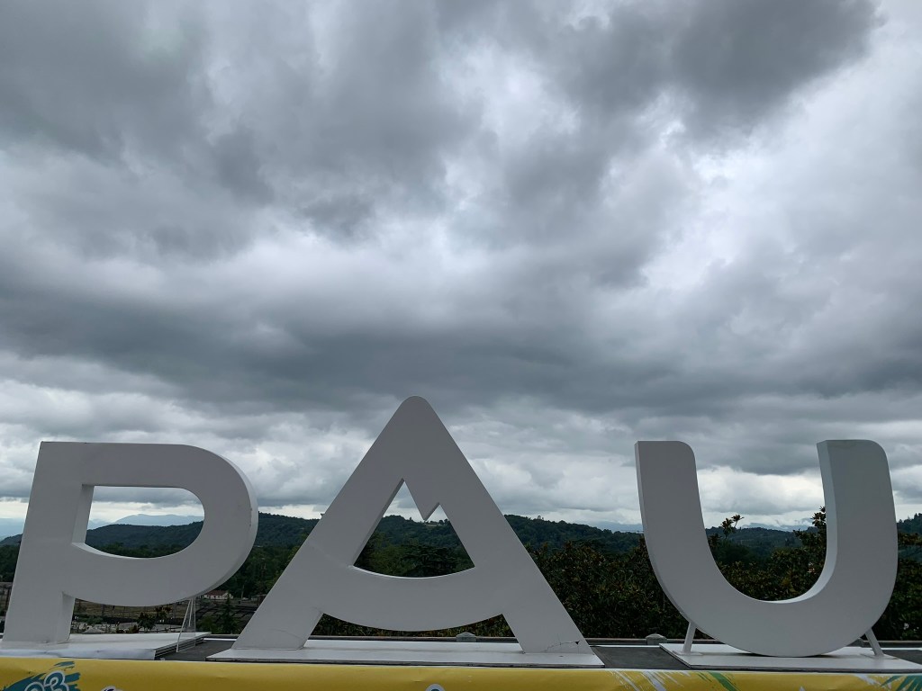
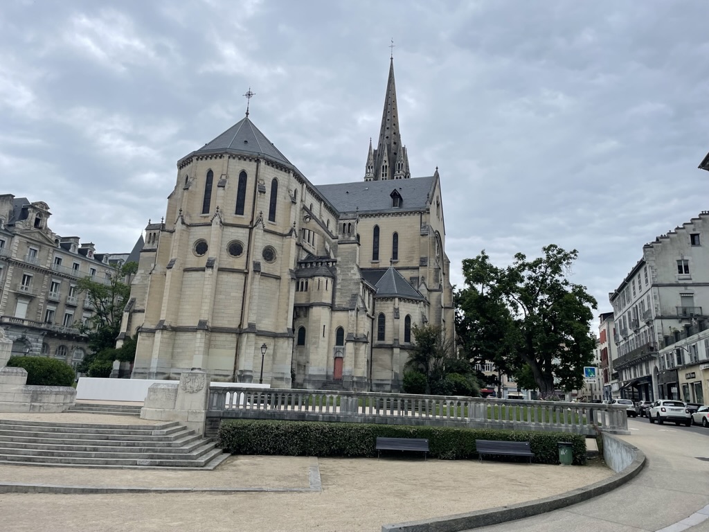
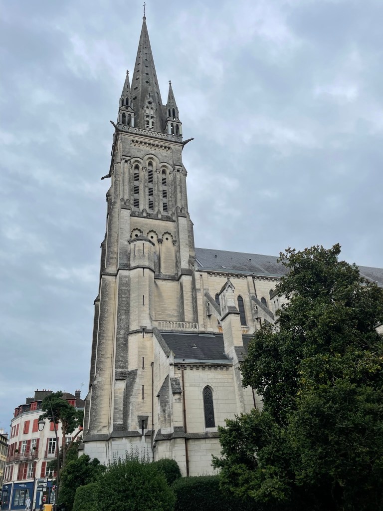
With all these nature hikes piling up, I realized that I was missing the city and suggested that we drive an hour north to Pau (pronounced “Po”) to get my urban fix. It’s a beautiful and well-manicured city, with the grand Boulevard des Pyrénées running along the southern edge of the city and offering a stunning view of the Pyrenees, just a few miles away. That, of course, is on a good day — the day we went was foggy and visibility was limited to only a few peaks. That was okay with us, however, as we were living in that particular range and didn’t need the city slickers’ view of things. We enjoyed our walk through the ancient (and the newer) streets and tried to imagine ourselves living there: the climate is mild, with temps rarely getting below 40 in the winter or above 80 in the summer, and there’s a train that connects with Toulouse to the east and Bordeaux and Biarritz to the west. You can be at the Atlantic beaches in two hours or Paris in under five. I could certainly see myself living there so we added it to the list.


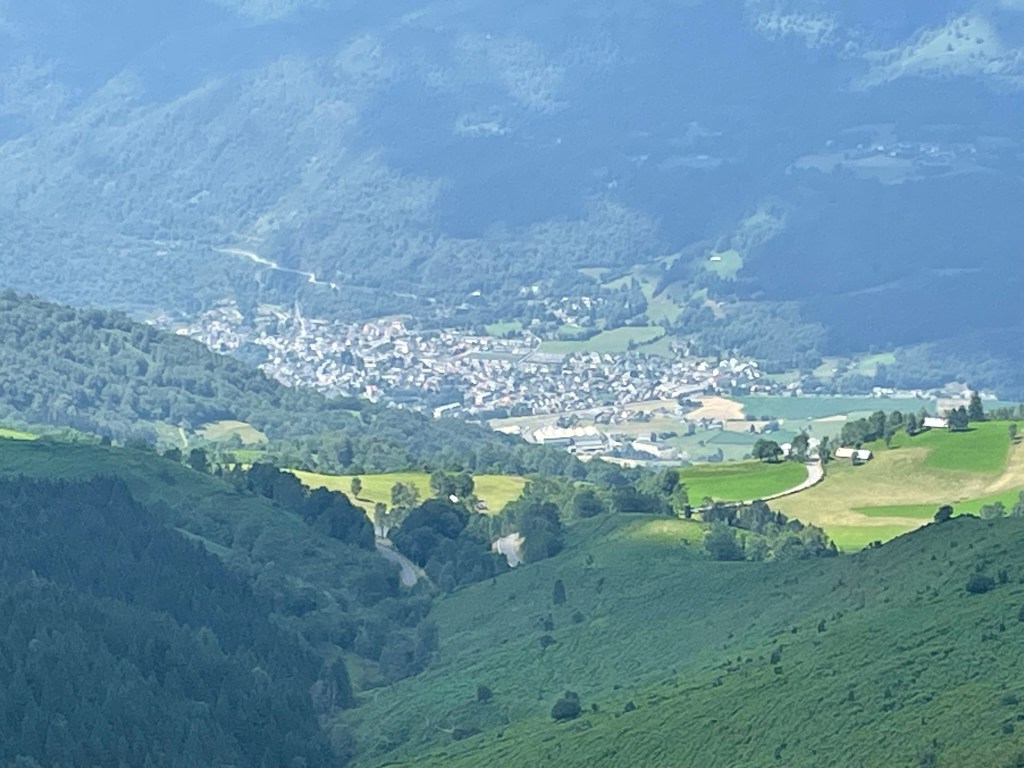
Later that week, we attempted a hike to Viscos, a nearby town perched high on a hillside above the Gave de Gavarnie ou Pau but were turned back by a steady rain and high undergrowth on the main part of the trail. Ever since my encounter with a snake in Italy, I’ve been nervous about trails that consist of tall grass. Of course, getting bitten by a viper is apparently not the worst thing that could happen to me as there’s been a recent uptick around here in viral hemorrhagic fevers caused by… a tick. I admit it, I’m not the most outdoorsy person you know, but give me a well-worn path with not too many inclines or too much sun and I can walk all afternoon. But, if it’s rain, high grass, and elevation gains of 2000 feet, I’ll always find an excuse to stop into a café.
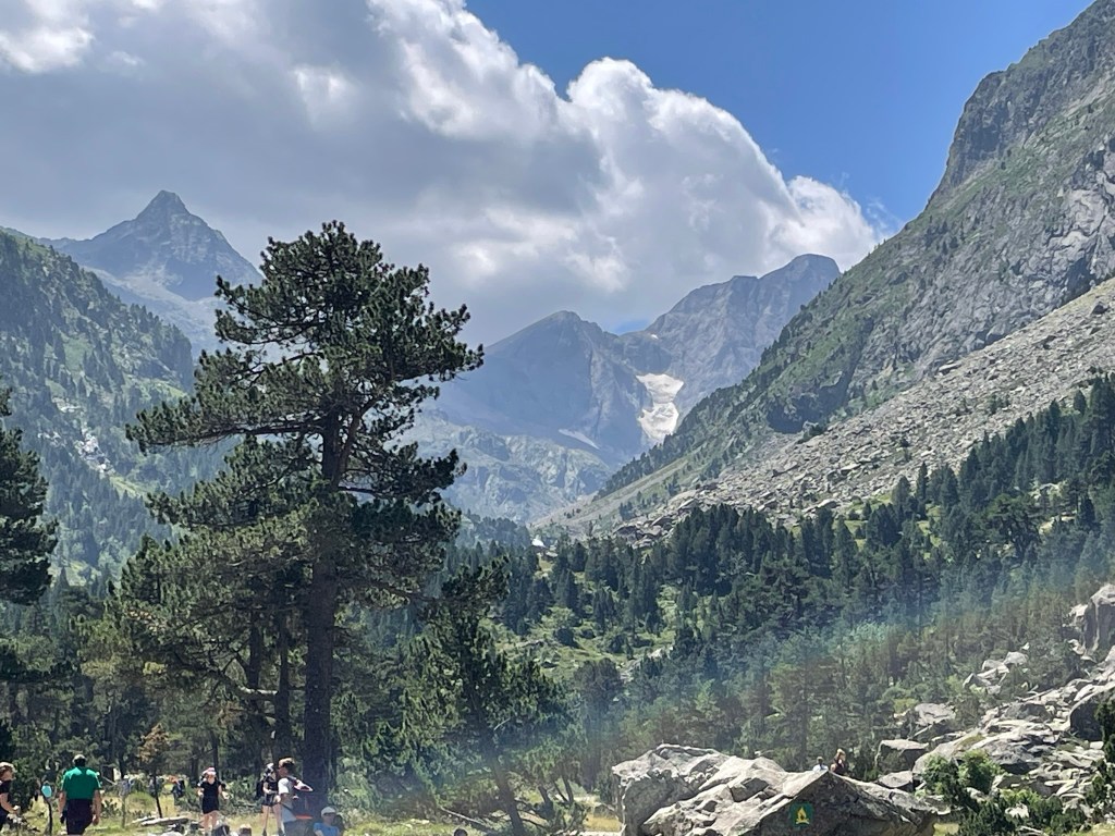
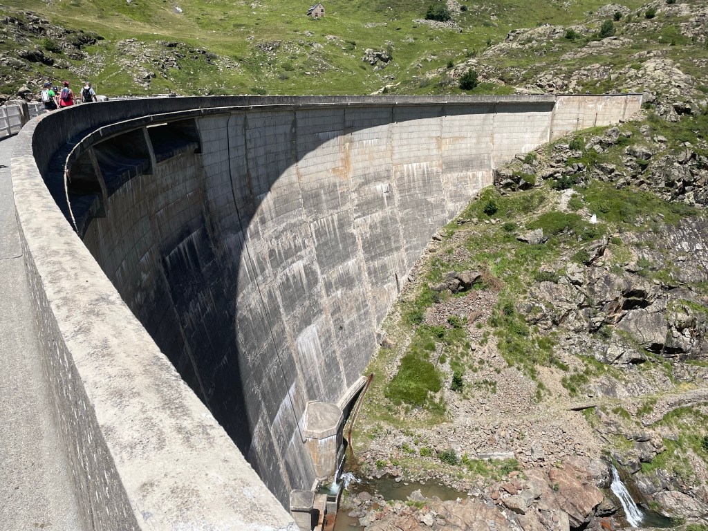
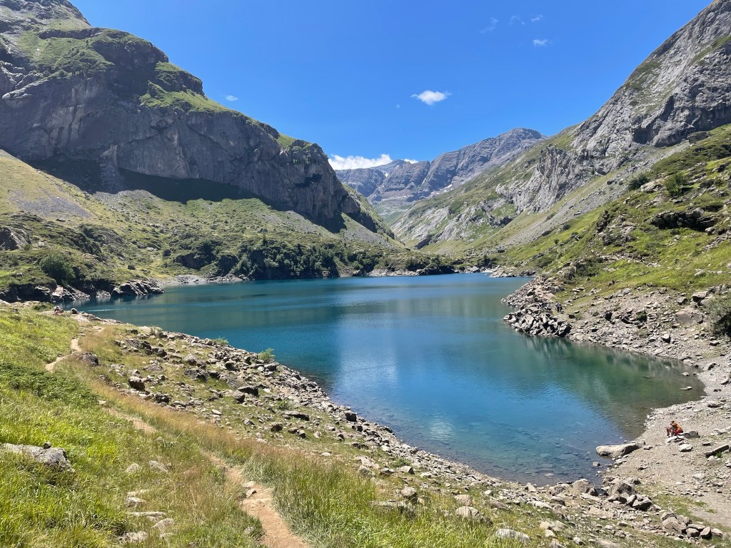
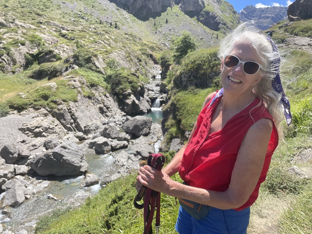
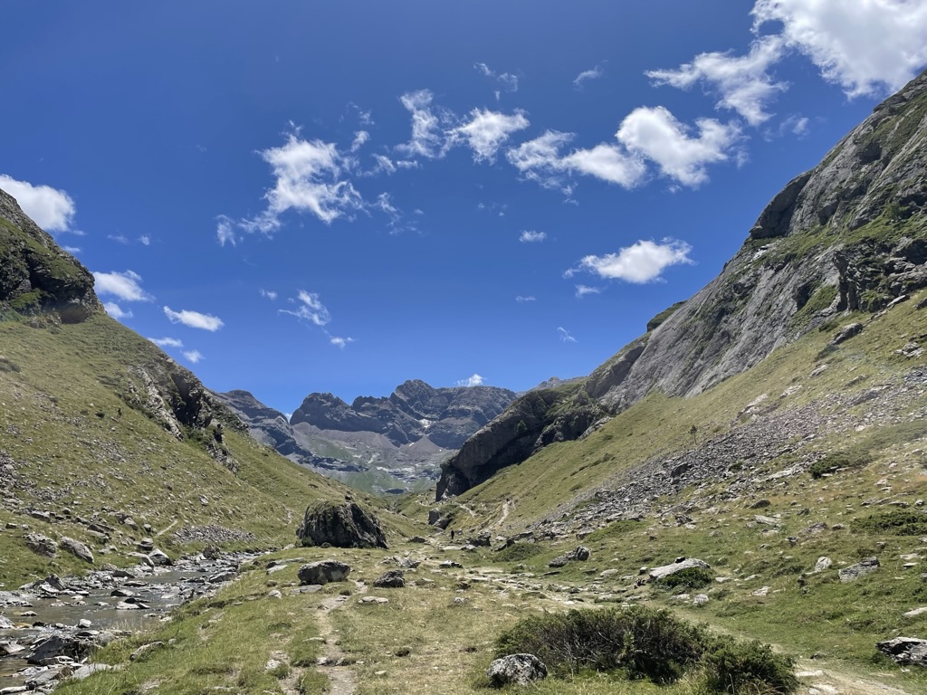
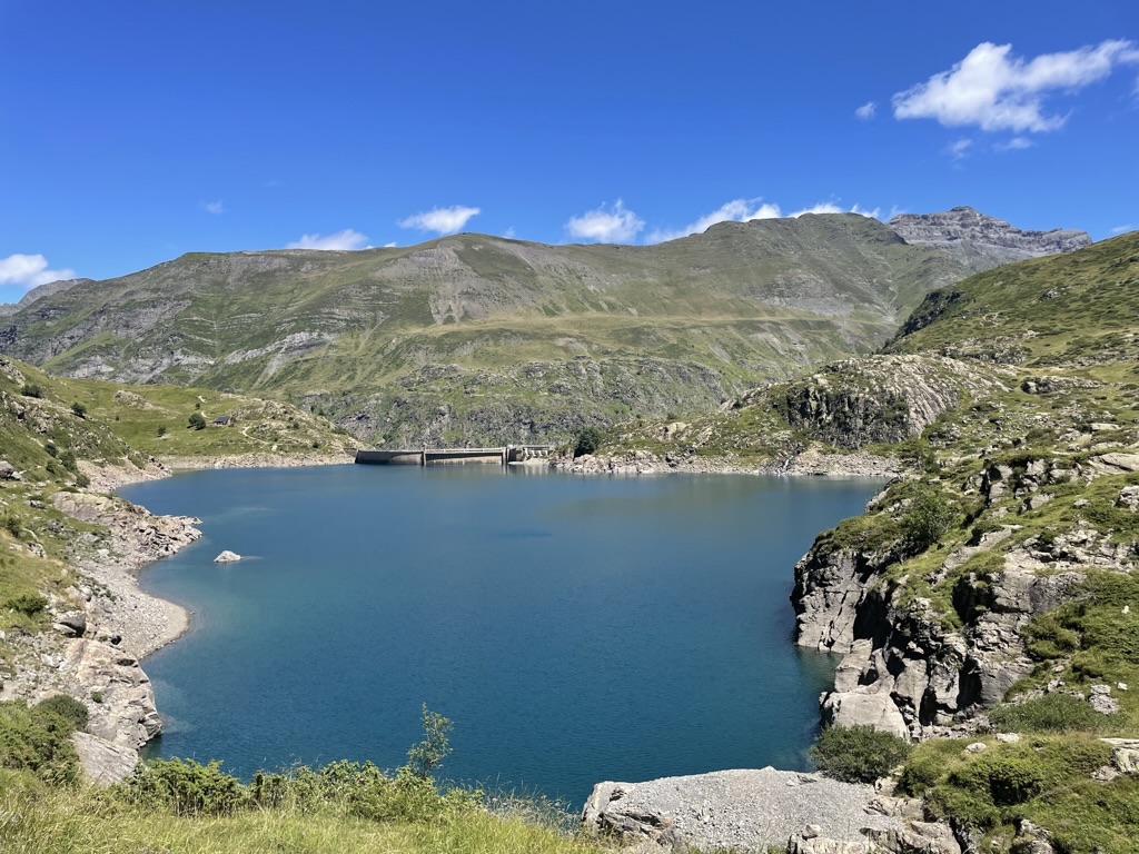
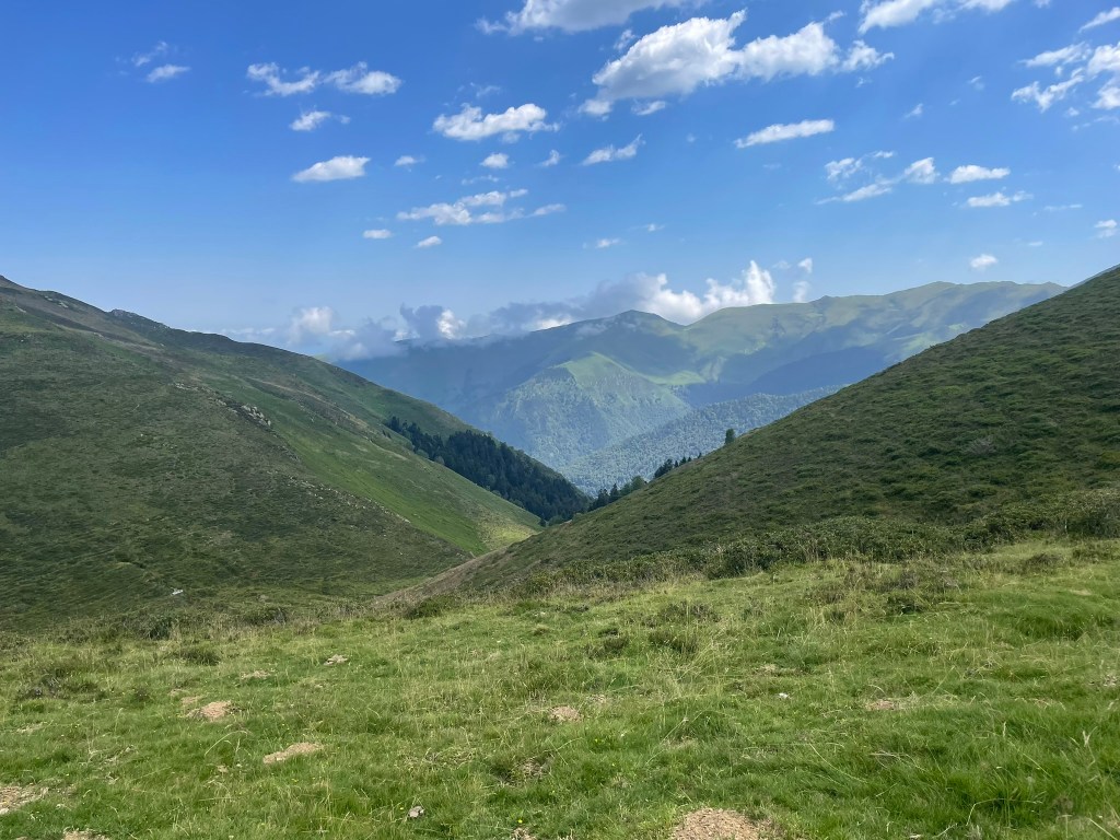
The last hike I’ll mention before we decamp to the Spanish side of the Pyrenees is an amazingly scenic excursion to Lac du Gloriette. We had originally planned on visiting Cirque de Gavarnie, one of the Grand Sites of France, but the parking was just insane and even Denise, who never gives up hope —to the point of inventing parkable spaces in her mind. agreed that it was too crowded to be enjoyable. Instead, we settled for the hardly second-rate Cirque d’Estaube, just down the road and hard by the Spanish border. We were able to find free parking near the dammed Lac des Gloriettes, have a little picnic, and do a moderately difficult seven-mile hike around the lake and out into the river valley. Coco turned six years old this week and is definitely slowing down a bit but these nature hikes bring out the puppy in her: she bounds ahead of us, smelling every bush and cow pie, and you can tell she’s enjoying herself immensely. The hike was not nearly as crowded as the Gavarnie, which clearly is the Yosemite Valley of this part of France. Later, we discovered that you can take the bus from Pierrefitte to the trailhead in Gavarnie, and that is a much better idea.


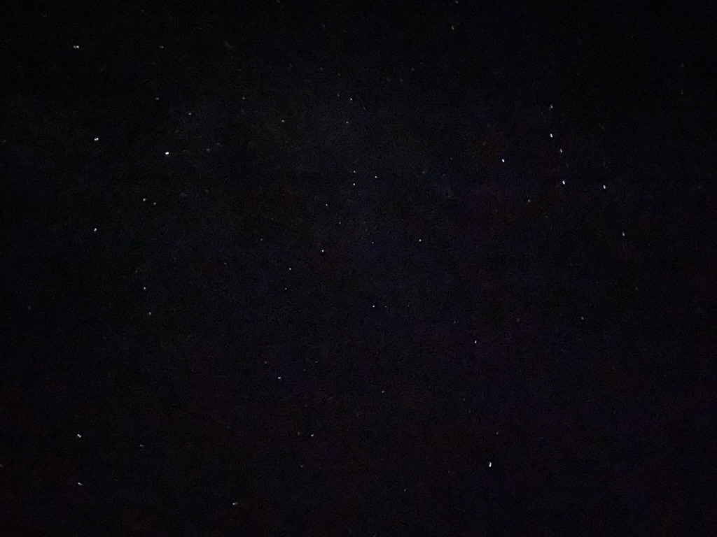
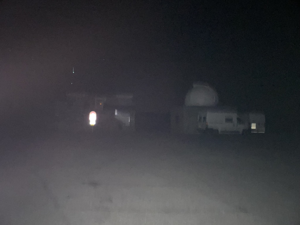
Last night, I woke up at 3 a.m. to use the restroom and noticed that the night sky was ablaze with stars. We’d been talking about getting out in the wilderness far enough from the (relatively minor) light pollution of the surrounding towns but we’d either been met by cloudy skies or were just too tired to make the effort. However, this was a clear night and maybe our last opportunity to see it so I nudged Denise awake to gauge her interest. She was game and so we went in the backyard, where the view was pretty good, and took in the show. “What about going back to Hautacam and seeing if it’s better up there?” I asked. Our host Joel had recommended the mountain top as a good local stargazing site — hell, they even had an observatory up there — and, unlike our last daytime visit there, tonight was totally cloud-free. We threw on some shoes and hopped in the car and were at the top in a half an hour, awed by the display above our heads. We could see planets — Jupiter, I think, and Mars — as well as several shooting stars and satellites. Most impressive was the blur of stars directly above us that I took to be the Milky Way. As I’m more of a city boy, I’ve never seen a sky with so many stars and I was speechless. Several campers had parked in the observatory lot but we were the only interlopers who were awake — not surprising for 4 a.m. It was pitch dark at the summit and the only sounds we could hear were the clanking of cowbells in the fields below. It was pretty magical. Once we had our fill, we made it down the mountain and back to bed and Coco was none the wiser.
The stargazing was a perfect way to wind down our time here in the French Pyrenees. This is such a lovely area but not one we often heard about back in the U.S.A. — I only found it thanks to the Tour de France — but we’d love to come back here again. In a few days, we’re swapping the French side of the mountains for the Spanish side so it will be interesting to see what the differences are. We are certainly looking forward to the change in cuisine as we love tapas. Denise has been studying Spanish for a while now so I expect that will make things a little easier for us in the communication department. I will say that the French have been, on the whole, extremely helpful and patient regarding our general ignorance of the language. They were always apologizing for their lack of English skills while I remind them that my lack of French is the problem. And when pousser est venu pousser, there’s always Google Translate. Viva la France!


As always another beautiful record of your amazing travels! Can’t wait for the next chapter!
LikeLiked by 1 person
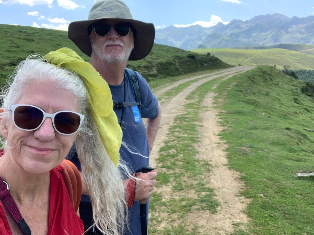
Pic with the caption “Denise loves hiking and I love making Denise happy.” is the money shot.
LikeLike
Retirement haven? I wouldn’t poo poo Pau.
LikeLike